 Best view
South Side
To the glacier viewpoint
- Length
- 6.4 km return
- Time
- About 2 hours
- Bikes
- To the old car park
Guides
Language
EnglishCurrency
US dollar · $Prices on GetYourGuide appear in your chosen currency.
Guide · Walks
You cannot hike to the ice from the valley floor, but you can walk through rainforest to a clear view of it. These are the tracks that DOC lists around the township, with distances, times and the hazards.
Editorial team, foxglaciertours.comUpdated October 25, 2026read in 6 minutes30 sources
Quick answer
The Fox Glacier Valley lies less than 6 km from the township, and DOC describes walking and cycling tracks there, each with its own view of the glacier valley.5 The glacier itself is 13 km long, and from the valley you see only its lowest, steepest end, framed by grey rock walls and waterfalls after rain.6
If you hoped for a path onto the ice, DOC's tracks do not offer one. The valley floor is a moving landscape of gravel, meltwater and collapsing ice, and DOC's walks keep you at a safe distance from all of it. What they give you instead is the approach: old forest, glacial rubble slowly turning green, and a view that grows as you go.
When people search for the Fox Glacier valley walk today, the track that delivers that view is DOC's South Side Walkway/Cycleway on the south bank of the Fox River. Before you go, ask at the Westland Tai Poutini National Park Visitor Centre in Franz Josef or check DOC's alerts, because tracks in this valley open and close with the weather.
On the South Side
Start
2 km south of the township, over the Fox River Bridge.7
After 40 min
The first view of the glacier through the forest.8
Old car park
Cyclists leave their bikes and walk on.8
+10 min
A view of Fox Glacier; go no further.8
Return
6.4 km in all, about 2 hours on foot.1
The Fox Glacier South Side walk starts from a car park 2 km south of the township: cross the Fox River Bridge and park on the left heading south.7 The track is 6.4 km return by the same way, about 2 hours on foot or 1 hour by bike, and graded easy to intermediate.1 It changes height by only about 100 m.9
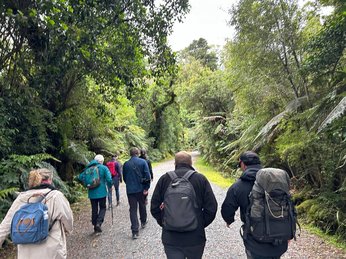
It follows the south bank of the river through ancient podocarp rainforest. The first viewpoint of the glacier comes after about 40 minutes; the track then reaches an old car park, where all bikes must be left, and winds downhill for about 10 minutes to a viewpoint of Fox Glacier.8 DOC tells walkers not to go past that point because of extreme flood hazard.8
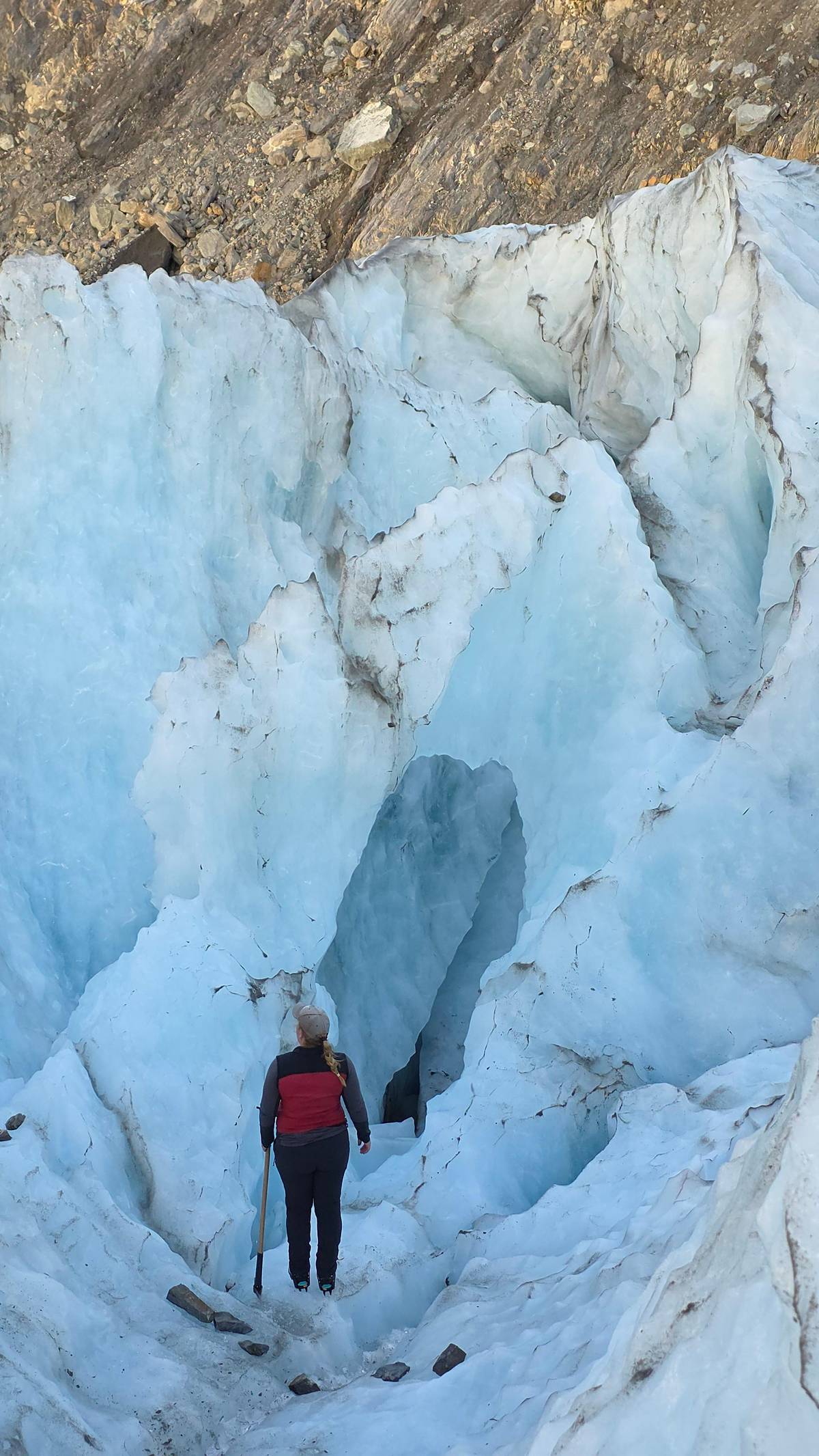
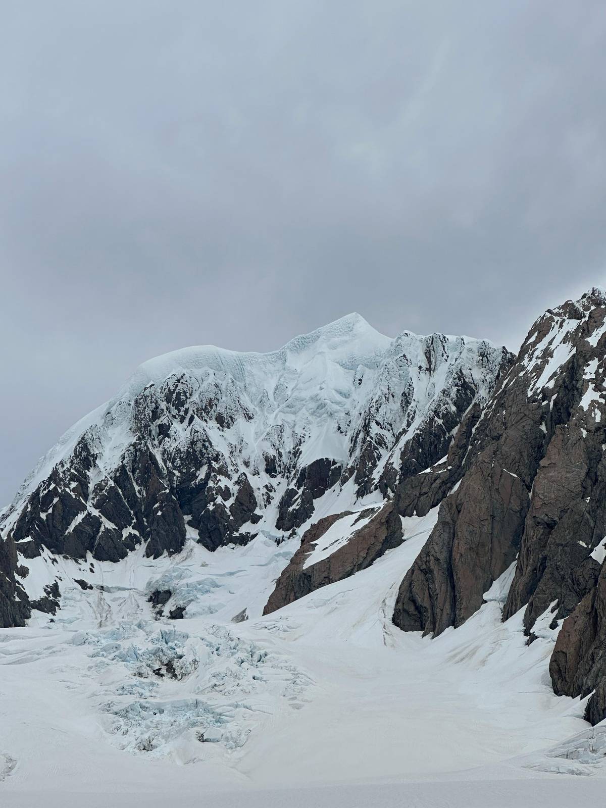
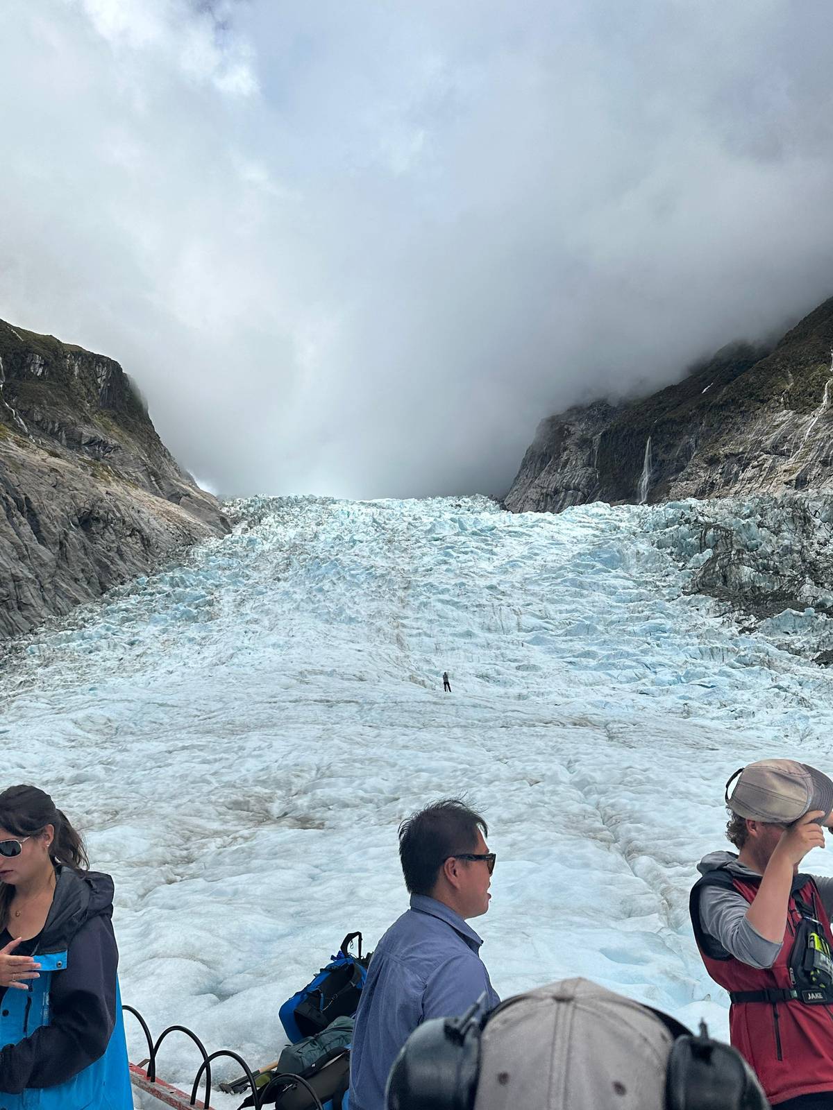
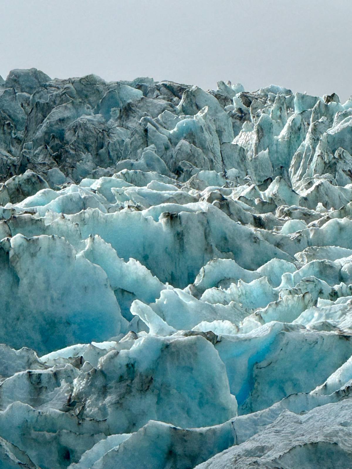
That final spot is worth the walk. The ice fills the head of the valley, the rock walls rise sheer on both sides, and on a clear day the upper glacier shows above the icefall. DOC is careful to add that the glacier viewpoints are hundreds of metres from the face of the glacier.2
Walks compared
Three walks
Best viewTo the glacier viewpoint
 Glacier history
 Easiest
Stream and glow worms
Decision helper
Pick by time, weather and company
Glacial rivers can be dammed by ice falls and the dam could burst creating a huge surge of water and ice which floods the valley.
The South Side track can be closed by rock falls or flooded rivers.2 DOC lists rapidly changing weather, river surges and flooding as the hazards here. Glacial rivers can be dammed by falling ice, and if such a dam bursts it can send a huge surge of water and ice down the valley.14
At the glacier face itself, ice collapse and rock fall can happen at any time, which is why DOC tells visitors at Franz Josef Glacier not to go beyond the rope barrier.15 Barriers and signs here are not decoration. Every year the valley floor looks different, and a channel you crossed dry last week can be a torrent after a night of rain.
Even at the Fox Glacier viewpoint the rule for walkers is short: stay on the marked track, obey every sign, never cross a barrier, and turn back if the river is high or the weather breaks. Tell someone your plans on the longer tracks. None of this should put you off; it simply means the walks are about the view, not about touching the ice.
Map
The township and the short walks around it, the two glaciers side by side, and State Highway 6 from Queenstown, Wanaka and Christchurch.
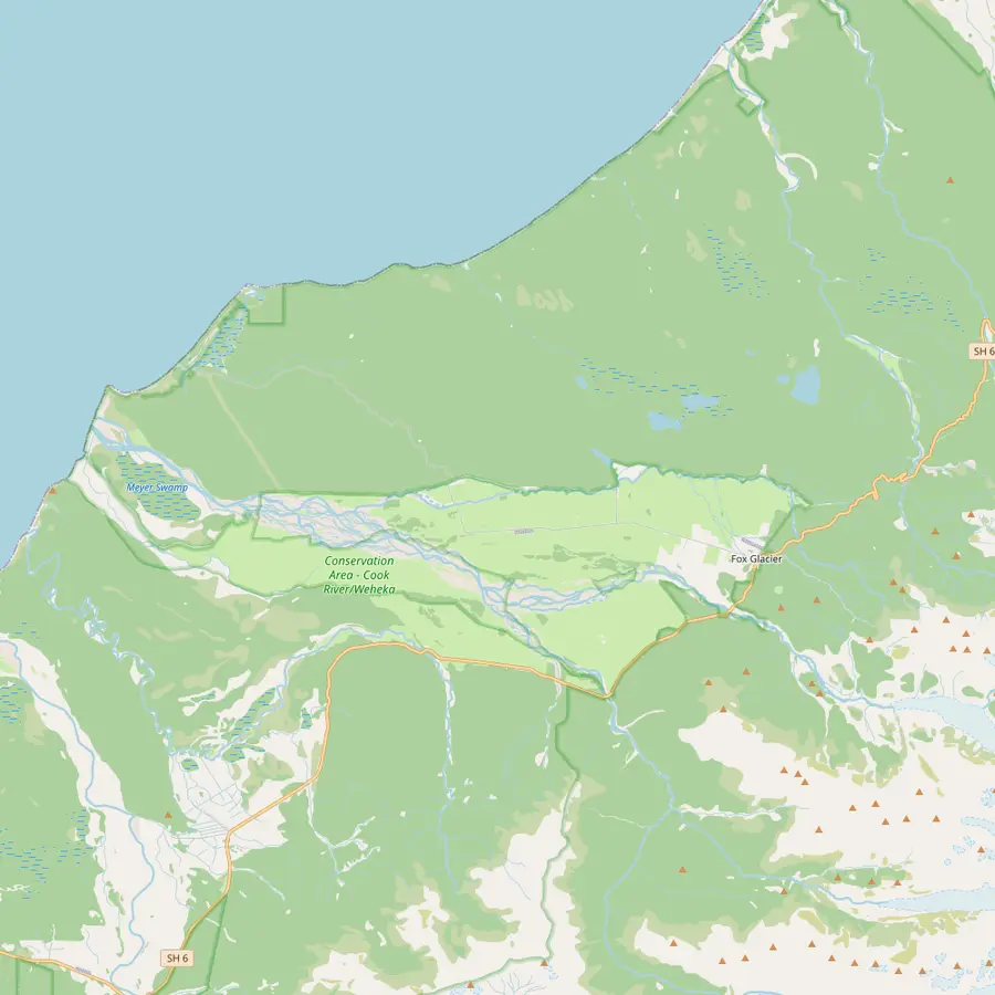 1Fox Glacier township2Lake Matheson3Lake Gault4Peak Viewpoint5Fox Glacier South Side viewpoint6Gillespies Beach
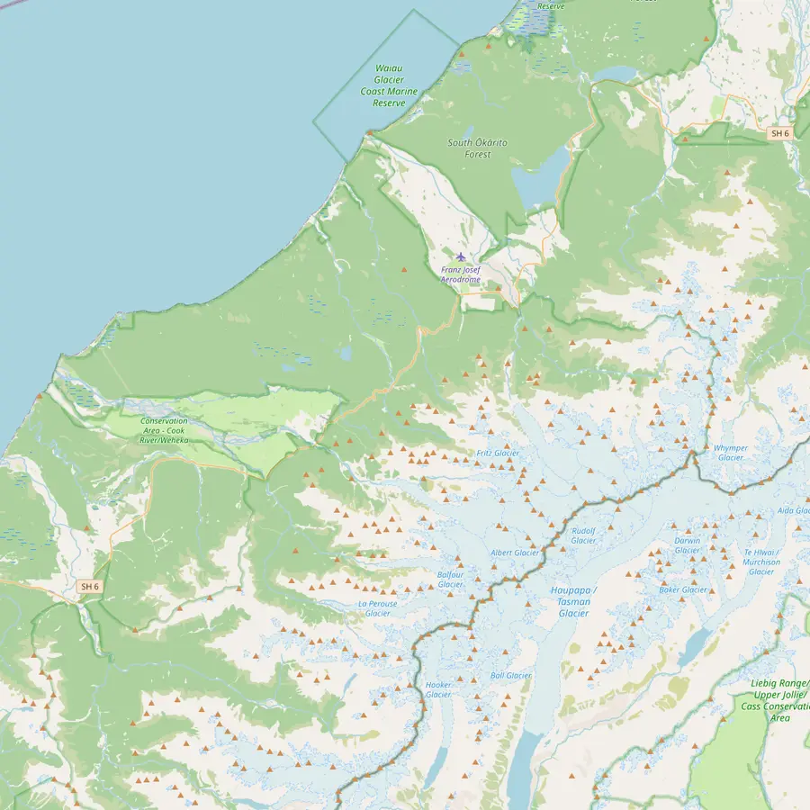 1Fox Glacier township7Fox Glacier8Franz Josef9Franz Josef Glacier2Lake Matheson
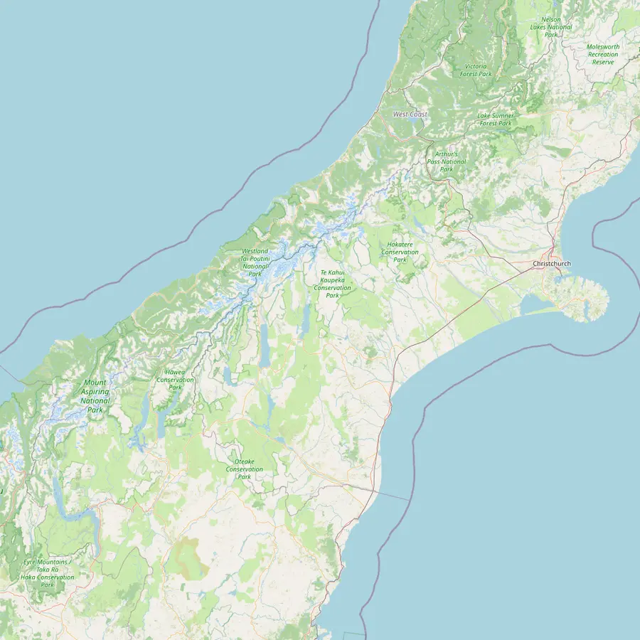 1Fox Glacier township8Franz Josef10Hokitika11Christchurch12Haast13Haast Pass14Wanaka15Queenstown
On State Highway 6, 171 km south of Hokitika.16
In Google Maps ↗A 4.4 km loop of 1 hr 30 min, 5 min by car from the township.1718
In Google Maps ↗8 km return from the Lake Matheson car park, about 3 hours.19
In Google Maps ↗A 9 km drive towards the coast, with views of the neve.20
In Google Maps ↗At the end of a 6.4 km return walk of about 2 hours.1
In Google Maps ↗A 21 km drive from the township, at the coast.21
In Google Maps ↗13 km long, its face less than 300 m above sea level.622
In Google Maps ↗The twin township, 30 min by car to the north.23
In Google Maps ↗Its face is also less than 300 m above sea level.24
In Google Maps ↗The closest commercial airport, with daily flights from Christchurch.25
In Google Maps ↗The city with daily flights to Hokitika.25
In Google Maps ↗The southern way in on SH6, about two hours to the park.26
In Google Maps ↗Tiora-patea, 'the way is clear', on the road from Wanaka.27
In Google Maps ↗3h 30m by road to Fox Glacier.23
In Google Maps ↗4h 30m by road to Franz Josef.28
In Google Maps ↗Checklist
Cost for your group
Pick an option and the number of people
Total from$130
pp from $65
Check availabilityfree cancellationWe take the lowest GetYourGuide fare for each trip, multiply it by the people in your party and show it in your currency at European Central Bank rates; your date sets the real total.
The Moraine Walk leaves the South Side Walkway/Cycleway and is 4 km return by the same way, about 1 hr 30 min, graded easy.10 Bikes are not allowed on it, so cyclists leave them at its start. It is the walk for anyone curious about how fast nature takes back the ground a glacier leaves behind.
Moraines are the rock and rubble a retreating glacier drops. DOC explains that this walk begins on a very old surface and then crosses the AD1600 and AD1750 moraines.4 On the South Side Walkway itself, DOC notes that the forest reflects the different ages of the moraines it has colonised.1
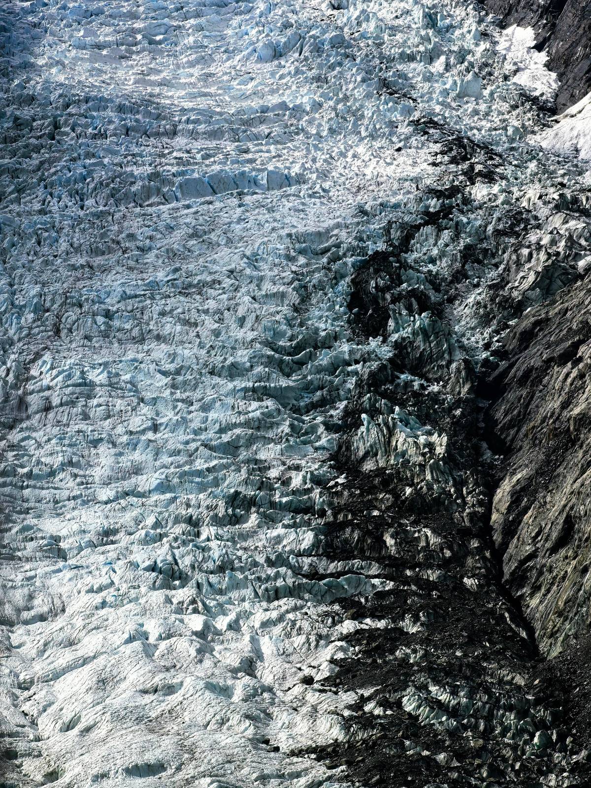
Walk it slowly and compare: older ground carries tall trees and deep moss, younger ground scrub and pioneer shrubs. The pattern tells the story of the ice better than any sign. A 2014 study found that Fox and Franz Josef have lost about 3 km in length since the 1800s, and the moraines are what that loss looks like on the ground.29
These tracks start right in the township, which makes them easy for an evening stroll. Te Weheka Walkway/Cycleway is 5 km return, about 1 hr 20 min on foot or 40 min by bike.11 It climbs steadily up the valley to a view of the largest active landslide in New Zealand, and DOC warns that there is no glacier view from it.12
The Minnehaha Walk is the shortest of all: a 1.2 km loop of about 20 minutes that follows a stream through rainforest, wheelchair accessible.3 Its best moment comes after dark, when glow worms may be seen in the forest, so take a torch to find your way.13 Seeing glow worms at Fox Glacier needs no booking and no ticket, only patience and a dark night.
Keep your torch pointed at the path, not at the banks where the glow worms are, and give your eyes a few minutes to adjust. It is a gentle walk for children, and a good way to end a day of flights or driving without getting back in the car.
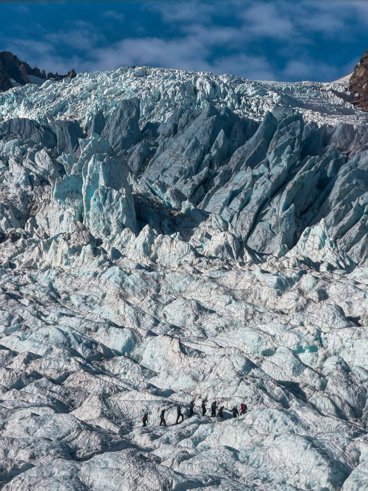
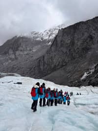
The valley walks and a heli-hike tell the same story from opposite ends. From the South Side viewpoint you look up at the broken lower glacier and the walls of the valley; on a heli-hike you stand on cleaner ice above it and look down. Doing both, on the same day or on consecutive days, gives you a much fuller picture of how the glacier moves and melts.
A practical order is a heli-hike in the morning, when flights have the best chance of going, and a walk in the afternoon or evening. If the morning is grey and your flight is moved, swap them: walk first, and keep an eye on the sky for a later slot. The forest tracks are pleasant in light rain, and the river and waterfalls are at their loudest after a wet night.
Pace yourself if you plan several walks. The South Side Walkway, the Moraine Walk and Lake Matheson in one day are possible for fit walkers, but you will enjoy them more if you spread them out. Leave the Minnehaha Walk for after dinner, when the glow worms are out and the township is quiet.
If you want company and explanation rather than just a track, the guided Fox Glacier half-day walking and nature tour on GetYourGuide is listed at 3.5 hours, for groups limited to 10 participants, with pickup included. The listing is clear that it goes no further than the public viewpoint and does not walk on the glacier.
It is rated 4.70 from 187 reviews and starts from $65. It departs from Franz Josef and also collects walkers in Fox Glacier township, which helps if you are staying north and do not want to drive. A guide adds names to the plants and birds, the glacial history of the valley and local stories you would walk past alone.
Guided walking here has a long past. DOC's history of the park recalls that by the start of the 1900s so many tourists were visiting the glaciers that the Government gave hoteliers annual grants for tracks and huts.30 Today's guided walks stay below the ice, and the ice itself is reached by helicopter.
Pick your day
Flights, boots, crampons and rain gear included; free cancellation up to a day before.
No, only to viewpoints. DOC's viewpoints are hundreds of metres from the face of the glacier.2
6.4 km return, about 2 hours. By bike the cycleway part takes about 1 hour.1
2 km south of the township. Cross the Fox River Bridge and park on the left heading south.7
On the Minnehaha Walk. Glow worms may be seen in the forest after dark; take a torch.13
No. It ends at a view of the largest active landslide in New Zealand.12
Floods and rock falls. DOC says the South Side track can close for rock falls or flooded rivers.2
Yes, a 3.5-hour nature walk. It goes no further than the public viewpoint and starts from $65.
Sources